5 FARNHAM ST
Owner Information
CITY OF LOWELL
375 MERRIMACK ST
LOWELL, MA 01852


Property Details
5 FARNHAM ST is classified as a City of Lowell C (Light indust).
The primary structure on this property was built in 1920. There are 9,984ft2 of built area within this property. There is 4,920ft2 of residential/living space within this property.
5 FARNHAM ST is valued at $287,800. The land is valued at $67,100 and the structures are valued at $220,700.
This property is in Zone UMF. Confirm with local Zoning Board authorities to ensure there are no overlays or other easements on this property.
The most recent deed for 5 FARNHAM ST is recorded at the local registrar in Book 20575, Page 0207. 5 FARNHAM ST was last sold on Thursday, October 5, 2006 for $0.
Assessment data from fiscal year 2021.
Flood Data
According to the FEMA National Flood Hazard Layer, this property does not appear to be in a flood zone. It may also be in an area not yet reviewed. Nonetheless, confirm this information prior to taking any action.
To view the flood hazards around this property, create a FEMA "Firmette" Map of the area around 5 FARNHAM ST.
Broadband Internet Providers
| Provider | Type | Bandwidth (mbps) | |
|---|---|---|---|
| Viasat Inc | Satellite | 100 | 3 |
| Crown Castle Fiber | Fiber | 0 | 0 |
| VSAT Systems, LLC. | Satellite | 2 | 1 |
| HughesNet | Satellite | 25 | 3 |
| GCI Communication Corp. | Satellite | 0 | 0 |
| Broadview Networks Holdings, Inc. | Copper Wire | 0 | 0 |
| Comcast | Cable | 1000 | 35 |
| Verizon New England Inc. | DSL | 15 | 1 |
Broadband service provider data from December 2020.
Adjacent Properties
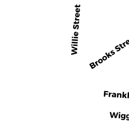
- 99 WILLIE ST
Buildings for manufacturing operations owned by ACRE TRIANGLE COMMUNITY - 115.1 ROCK ST
Potentially Developable Industrial Land owned by TRS A & A REALTY TRUST - 115 ROCK ST
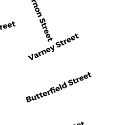
Auto Repair Facilities owned by TRS A & A REALTY TRUST - 268 MT VERNON ST
City of Lowell C owned by CITY OF LOWELL - 89 WILLIE ST
Vacant, Selectmen or City Council (Municipal) owned by CITY OF LOWELL - 85 WILLIE ST
Two-Family Residential owned by SOM SAM CHEA - 1 FARNHAM ST
Two-Family Residential owned by TSOUMAS JOHN